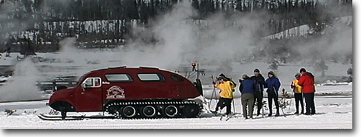
%20of%20hikingcanyonbar.JPG)
The
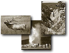
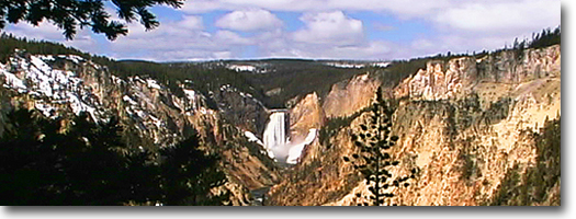
Grand Canyon of the Yellowstone is the focal feature for this region,
and numerous trails prowl its rim, descend its walls or lead to the
brinks of its waterfalls. Other trails in the Canyon area provide access
to backcountry lakes or connect with adjoining regions. The
yellow-hued rocks lining the canyon walls may seem appropriate for the
name "Yellowstone," but the canyon did not bear its name.
Instead, the name was derived from the yellow-banded bluffs along the
river several hundred miles north, near the confluence with the Missouri
River. During their wanderings, the early French Canadian trappers learned
from the Indians the name Mi
tse a-da-afor the Yellowstone River. And this, in French, became Roche Jaune of Pierra Jaune-, meaning Yellow Rock or Yellow
Stone.
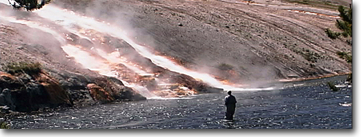
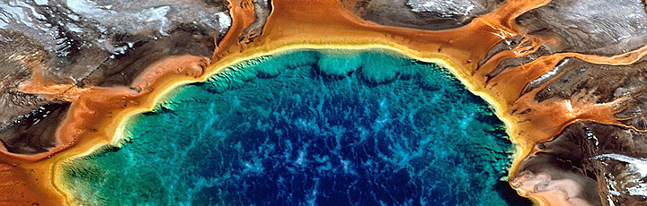
The river has carved a canyon 800 to
1,300 feet deep, 1,500 to 4,000 feet wide and 20 miles long. Rhyolite,
which forms the canyon walls, underwent
alteration when thermal water worked its way up. This weakened the rhyolite
and made it susceptible to erosion. During the past 150,000 years, the
river has been at work eroding the soft, altered rock. Harder, more
resistant, unaltered rhyolite forms the brink of the falls.
If only one hike can be made in Yellowstone,
the Mount Washburn Trail should be the one. This trail passes through
different zones of wildflowers and, during July, it is possible to count
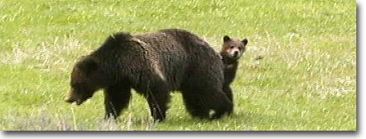
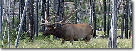
more than 50 species of wildflowers in bloom. Bighorn sheep use the
summer pastures on the slopes, and this is the best location in the
park to observe them. From the summit, it also is possible to scan the
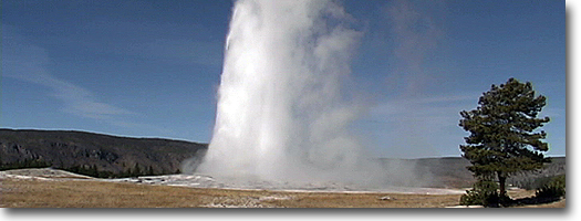
entire park. The Grand Canyon of the Yellowstone, Yellowstone Lake,
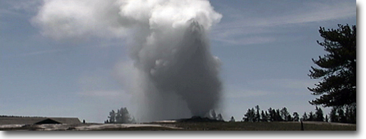
the Grand Tetons, Mount Holmes and even an eruption of Old Faithful
can be viewed on a clear day.
Mt. Washburn Trail
Length to Washburn Lockout Tower from:
Dunraven Pass picnic area 3.0 miles, one way.
Chittenden parking area 2.25 miles, one way.
Elevation change: Dunraven Pass at 8,850 feet (1,393-foot gain, but
a 1,491-foot gain from Chittenden parking area.)
Trailheads: The first of two trailheads is at Dunraven Pass, 4.75 miles
north of Canyon Junction on the Canyon-Tower Road. The second trailhead
is at Chittenden parking area, via the turn-off 9.5 miles north of Canyon
Junction, and including an additional 1.2-mile spur road.
If you can accomplish only one hike in
Yellowstone, this is the hike. No other single trail provides as much
in the way of scenery, wildflowers and wildlife as the Mount Washburn
Trail. This also is one of the best evening or sunset hikes, but the
drawback is that the return is in the dark.
Two trails access the summit of Mount
Washburn, the primary fire lockout of the three lockouts in the park.
(The other two lockouts are located on mounts Holmes and Sheridan.)
The two trails approach from opposite directions and provide entirely
different views on the way up. Both were stagecoach and wagon roads
originally and, later, the Chittenden Road was paved for motor vehicles
and was open to the public on a part-time basis until the late 1960s.
Now both are wide trails, with the Chittenden Trail also providing bicycle
access.
The Dunraven Pass approach is on the
southern exposure of Mount Washburn and, for this reason, becomes snow-free
earlier than the other side. Even so, the trail usually has snow patches
throughout most of the summer. You usually can hike the trail by the
end of June, by crossing over snow patches.
This trail provides the best panoramic
views of the park and of wildflowers. From the switchbacks, views of
the Grand Canyon, a section of Yellowstone Lake, the Tetons and even
an eruption of Old Faithful is possible. In July and August, it offers
remarkable-possibly the best-displays of mountain wildflowers in the
park. Pink monkey flowers, yellow violets, blue lupines, yellow balsamroots,
red paintbrush and violet shooting stars line the trail and fill the
meadows.
|